
Before a design team can plan grading, drainage, utilities, roadways, or site additions, it needs reliable information about existing conditions. Trans Texas Surveying & Mapping provides topographic and 3D survey data for civil engineers, architects, developers, and owners throughout Texas. Based in Cleburne, we define the survey coverage, control, and deliverables around your design requirements.
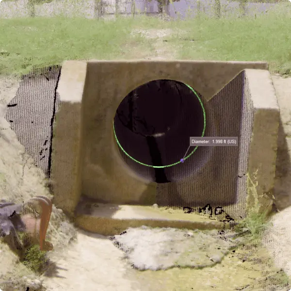
Depending on the scope, deliverables may include registered point clouds (LAS/LAZ or E57) and CAD survey drawings (DWG). We confirm your design platform, file formats, software versions, coordinate reference, units, and required detail before work begins. For CAD and Civil 3D workflows, the proposal identifies the drawings, surfaces, and point data included. Point-cloud data can support BIM/Revit workflows; a completed BIM or Revit model is included only when specifically identified in the proposal.
For structure- and facility-level scanning and scan-to-BIM point-cloud work, see 3D Scanning & LiDAR Surveying for Digital Twin and Scan-to-BIM Projects.
Depending on your project scope, TTSM can deliver:
geometrically corrected and tied to your project coordinate system
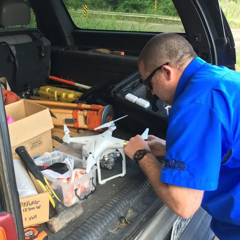
dense 3D measurement of terrain, structures, and site features, captured by drone LiDAR or, where a project calls for it, manned-aircraft LiDAR coordinated through a partner
or separately scoped 3D existing-conditions models that support design and digital-twin workflows
surfaces, contours, and breaklines prepared to the agreed design requirements
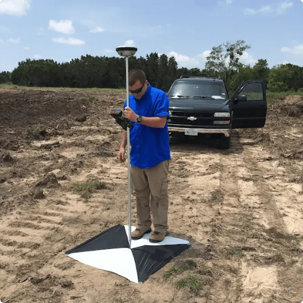
TTSM establishes and verifies project control using the GNSS/GPS, total-station observations, and leveling methods appropriate to the required accuracy and site conditions. Field observations, calibration, redundant measurements, and independent checks help evaluate the results. For point-cloud and surface accuracy checks, independently surveyed checkpoints are withheld from adjustment and compared with the processed data. The control, verification methods, and reporting are defined for the project and, where the proposal specifies it, accuracy is reported against the ASPRS Positional Accuracy Standards for Digital Geospatial Data; checkpoint agreement does not establish that every feature is complete or equally accurate.
For more about survey control, accuracy, and selecting deliverables, read the Topo & 3D Survey Guide for Civil Engineers.
Civil engineers, architects, developers, contractors, and owners use TTSM’s topographic and 3D data to support site design, renovation, construction planning, and coordination. TTSM also serves as a specialist resource for engineering and surveying firms that need additional field surveying, drone, LiDAR, or terrestrial-scanning capability.
We coordinate with the design team to define the information needed and deliver it in the agreed project reference and formats.
Reliable design information depends on a documented survey process: appropriate control, planned coverage, verification, and deliverables suited to the intended use. TTSM performs professional surveying work under the responsible charge of Robert L. Young, RPLS No. 5400, Texas Firm Registration No. 10122700. Our role is to provide the surveying and existing-conditions information the project’s engineers and architects need for their design work.
Every project is quoted individually based on acreage, deliverables, and site conditions. We establish the schedule with the project scope, once written authorization, site access, and the deliverables are confirmed. It depends on acreage, requested deliverables, field conditions, airspace constraints, the control required, and current workload.
TTSM’s topographic and LiDAR experience includes rail-corridor mapping and repeat topographic monitoring of a water-tower base slab in Joshua. Explore the project gallery for examples and discuss the experience most relevant to your assignment.
Send us your project location, approximate acreage or survey limits, plans if available, intended use, required deliverables, preferred file formats, and schedule. We will review the requirements and prepare a scoped proposal. Contact Trans Texas Surveying & Mapping at 817-556-3440 or info@transtx.com.
Engineering Support provides topographic and 3D existing-conditions data, including elevations, contours, and site features, for the design team’s use. A boundary survey locates property lines and corners through record research, field evidence, and professional judgment. Many civil projects need both; the proposal identifies the services included.
Both. TTSM works directly with civil engineers, architects, developers, and property owners. Other surveying and engineering firms also engage TTSM for topographic surveying, drone LiDAR, and terrestrial scanning support.
Depending on the scope, deliverables may include topographic mapping, surfaces, contours, breaklines, survey-controlled orthomosaic imagery, registered point clouds (LAS/LAZ or E57), and CAD survey drawings (DWG). We confirm file formats, software versions, coordinate reference, units, and required detail before work begins. A completed BIM or Revit model is included only when specifically identified in the proposal.
Send TTSM your project location, approximate acreage or limits, plans if available, intended use, required deliverables, preferred file formats, and schedule. We review the scope and confirm the proposed fee, deliverables, and turnaround.
Based in Cleburne, Texas, TTSM provides topographic and 3D surveying support for projects throughout Texas, including Dallas-Fort Worth and surrounding North Texas communities. Contact us with your project location and requirements.