BNSF Gainesville Siding: Rail Topography with Aerial LiDAR and Terrestrial Scanning
Client
BNSF Railway (project owner) | MULTATECH Engineering, since acquired by Lochmueller Group (engineering client)
Location
Gainesville, Texas
Survey period
September 2024
TTSM job
20240107
THE PROBLEM
MULTATECH Engineering (now Lochmueller Group) needed survey information for the engineering team working on BNSF’s Gainesville Siding project. The assignment called for a coordinated record of the main-line rail corridor and its associated features. This included control, topography, drainage, crossings, and trackside conditions that the engineering team could rely on for design work. Partway through, the scope was revised to extend coverage west of the main line and add an adjacent creek area that was identified for possible permitting review.
THE METHOD
TTSM combined drone LiDAR with Leica RTC360 terrestrial scanning to document the corridor. The agreed survey scope covered survey control, rail elevations, terrain and grade breaks, drainage structures, road crossings, existing turnouts, and trackside features.
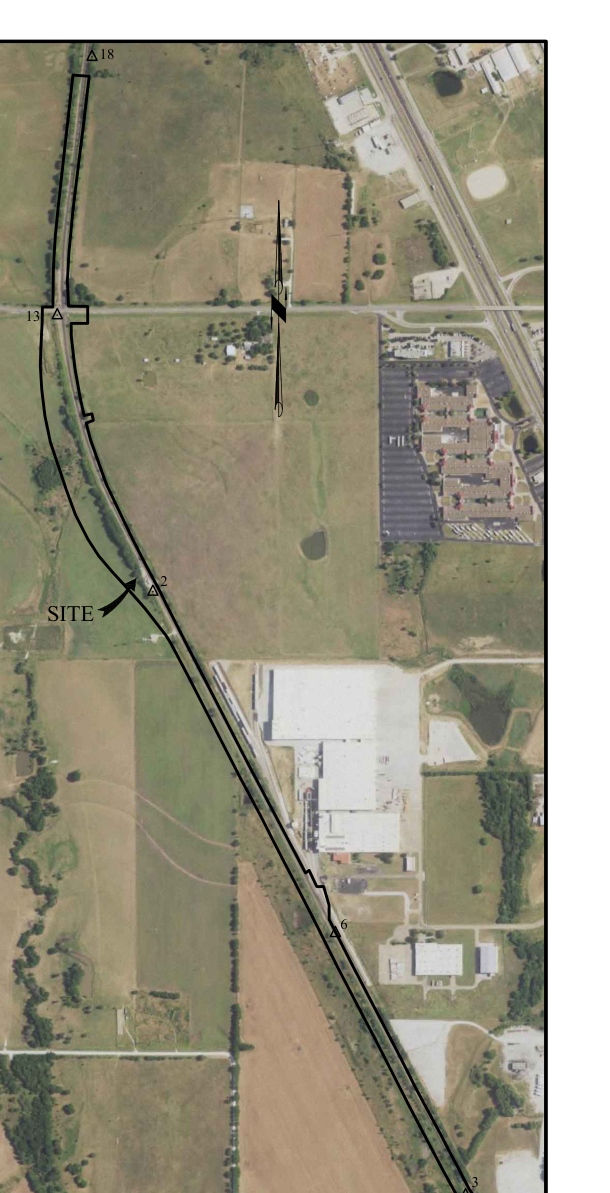
Corridor aerial excerpt from survey sheet 1. Historical survey imagery; not to scale.
DELIVERABLES
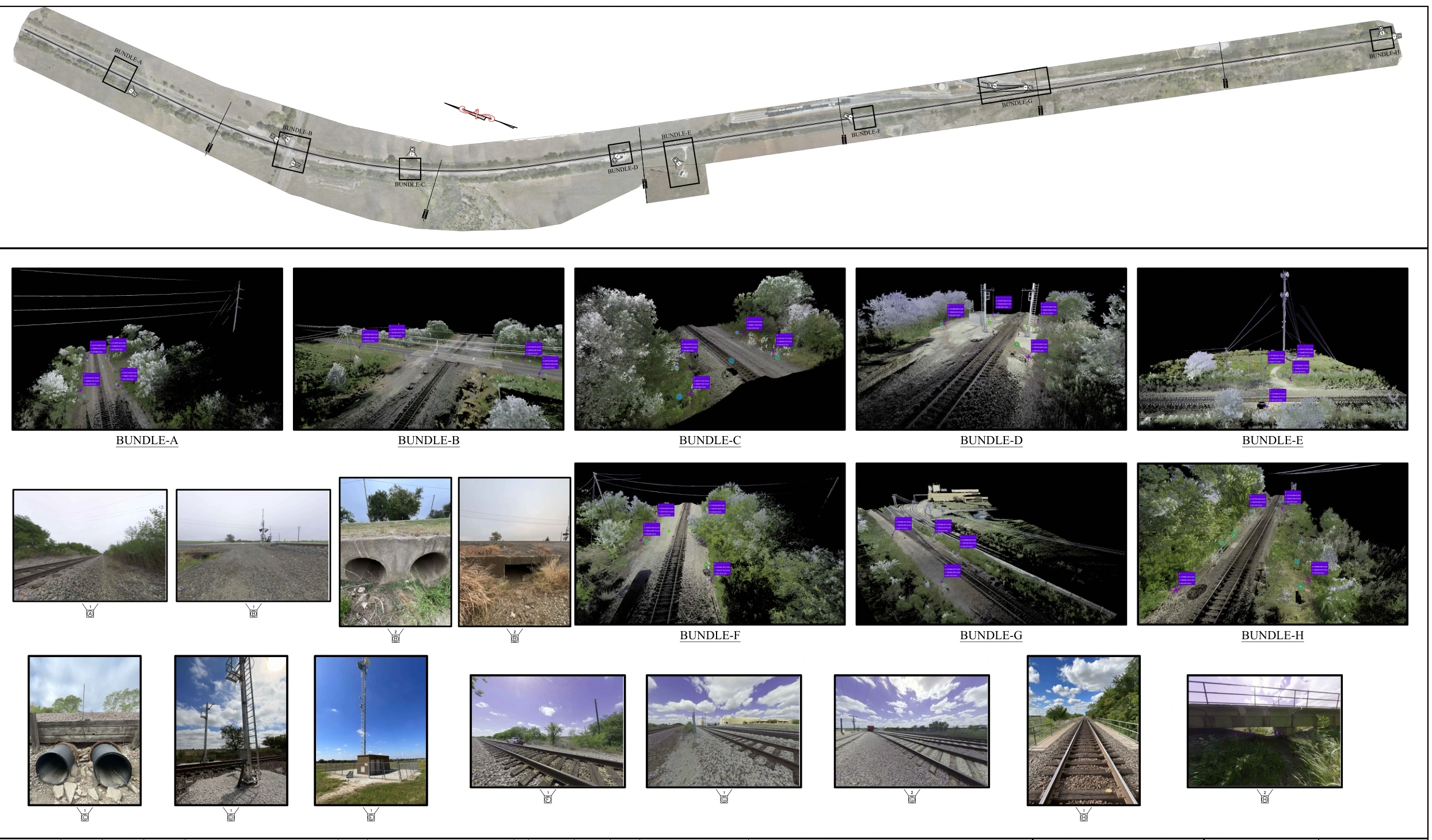
The September 26, 2024 preliminary survey set brought together aerial mapping, control information, profiles, cross sections, and scanning areas with photographs. This organized corridor measurements and detailed ground observations into a single coordinated engineering reference.
Scan-bundle locations, point-cloud views and site photographs from survey sheet 11. Cropped historical exhibit; not to scale. Images depict conditions at the time of the survey.
THE RESULT
The coordinated survey record gave the engineering team control, topographic mapping, andscanning data organized around the corridor. This included control information, profiles, cross sections, and documented scan areas. All of it was given to support the Gainesville Siding rail engineering work.
Get In Touch
Have a rail corridor, utility, or infrastructure project that needs this kind of coordinated survey record? Request a quote and we’ll walk you through scope and approach.