A boundary survey locates or retraces the boundary lines and corners of real property through research, evaluation of record and physical evidence, field measurement, and the application of boundary-law principles. Trans Texas Surveying and Mapping performs commercial boundary and easement surveys for developers, civil engineers, and large-tract landowners across Johnson County and the Dallas–Fort Worth area.
All professional surveying work is performed by or under the direct supervision of Robert L. Young, RPLS No. 5400. Texas Surveying Firm No. 10122700.
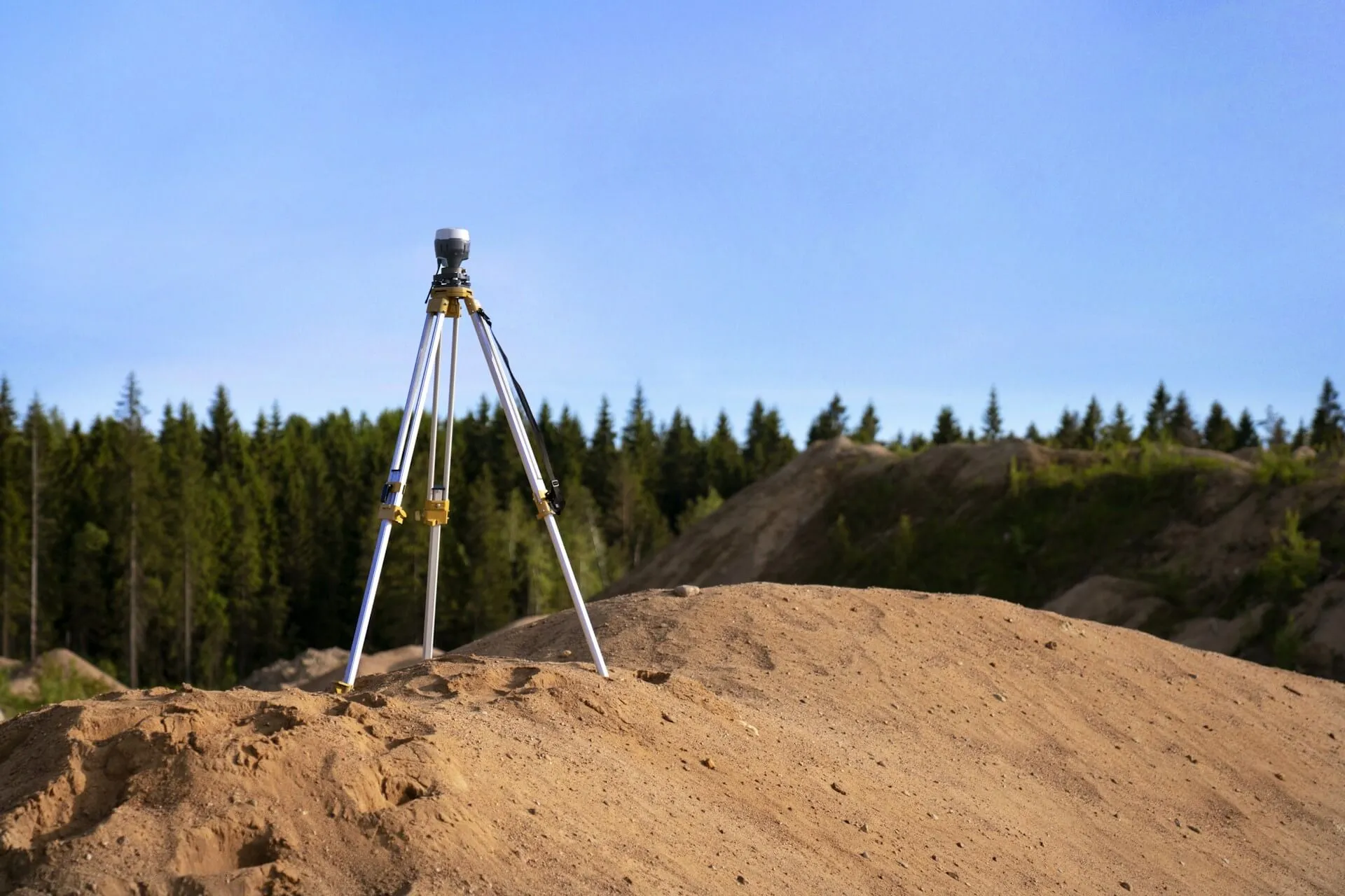
We approach every boundary survey with the understanding that its conclusions may later be examined by landowners, title professionals, attorneys, other surveyors, or a court. A surveyor develops a professional opinion of the boundary location from the available record and physical evidence. Unresolved boundary or title disputes may ultimately require legal resolution.
Every TTSM boundary survey includes research appropriate to the assignment, redundant measurement, mathematical verification, and documentation of the boundary evidence and findings. The purpose is to produce a well-supported professional opinion that can be explained from the record and field evidence. A survey cannot guarantee that a dispute will be prevented, determine ownership, or substitute for legal advice.
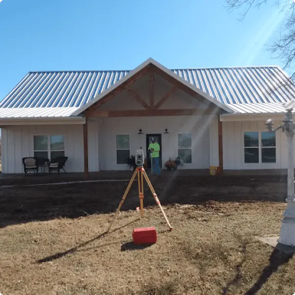
We focus this service on boundary and easement projects where careful research, evidence evaluation, measurement, and documentation are especially important:
Developers, civil engineers, and landowners rely on this work when boundary location affects acquisition, design, development, utility service, construction, financing, or long-term property use.
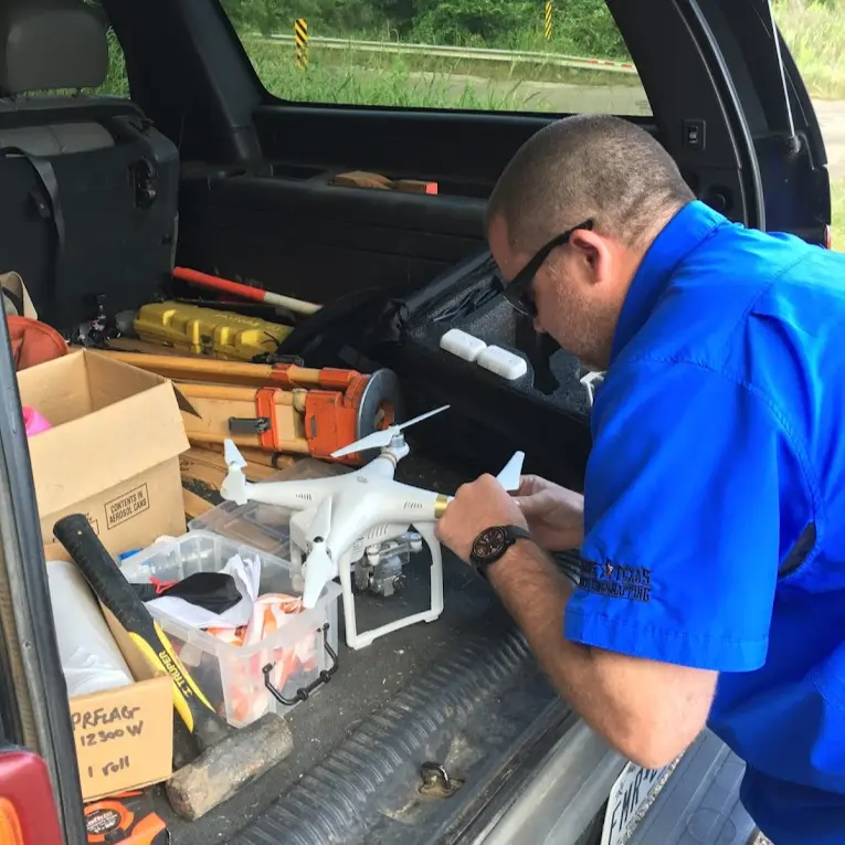
TTSM provides the professional surveying work needed to locate proposed easement limits and prepare survey exhibits and metes-and-bounds descriptions tied to the affected tract.
The survey and description identify the easement area; they do not themselves grant the easement, determine ownership, design or install the utility, or replace legal or title services. A project may require coordination among the landowner, utility provider, civil engineer, attorney, title company, and other parties.
for proposed service routes to barns, rural properties, and other locations requiring new electrical service
prepared for civil engineering and utility projects
based on the requirements of the project
Survey quotations are not always based on the same research, fieldwork, evidence evaluation, monumentation, documentation, or deliverables. On commercial and large-tract projects, an incomplete understanding of the boundary can affect design assumptions, transactions, easements, construction, and project schedules.
Price is an important consideration, but it should be evaluated together with the proposed scope, the records and adjoining tracts to be researched, the field procedures, the deliverables, and the professional responsibility behind the work. Ask what the quotation includes and whether the scope fits the intended use of the survey.

Robert L. Young, RPLS No. 5400, has worked in surveying since the late 1970s. TTSM combines that experience with current field technology, GPS/GNSS-based control, disciplined measurement procedures, and the application of Texas boundary principles.
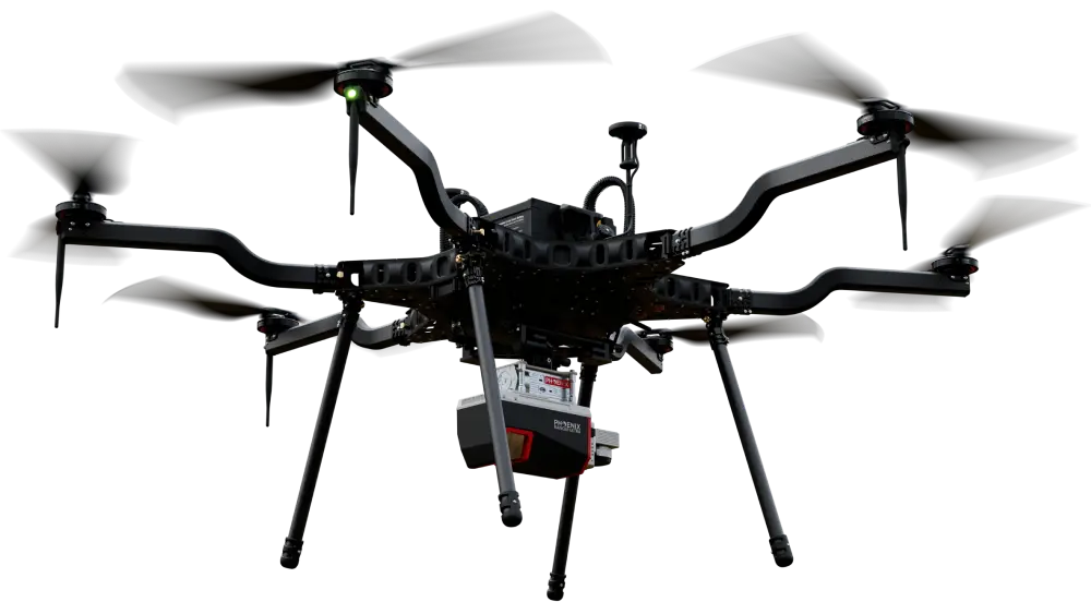
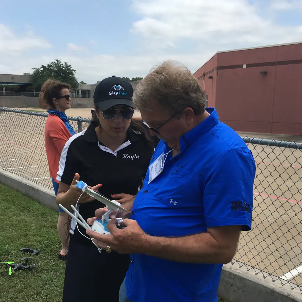
Property corners found or set during TTSM boundary surveys are documented with photographs as part of the project record. TTSM uses redundant field measurements and mathematical verification on every boundary assignment. On many projects, TTSM also flies controlled drone orthophotography to provide measurable, geographically corrected site context around boundary and topographic evidence.
Orthophotography supplements—but does not replace—record research, recovery and evaluation of boundary monuments and other physical evidence, ground measurement, or the professional boundary judgment of the responsible RPLS. Learn more about our drone and aerial surveying capabilities.
Every commercial, large-tract, and easement assignment is different. Contact Trans Texas Surveying and Mapping to discuss the property, intended use, available records, project limits, deliverables, and schedule.
A boundary survey locates or retraces the boundary lines and corners of real property based on record documents, historical and physical boundary evidence, field measurements, and applicable boundary-law principles. Developers, civil engineers, buyers, sellers, and landowners commonly order boundary surveys before a sale, financing, development, easement, construction project, or dispute when the boundary location matters.
A boundary determination is the surveyor’s professional opinion based on the available evidence and applicable boundary principles. TTSM documents the research, measurements, monuments, other relevant physical evidence, and professional reasoning supporting that opinion so the results can be understood and evaluated.
TTSM prepares easement surveys, exhibits, and metes-and-bounds descriptions for electric service, waterlines, utilities, rights-of-way, infrastructure, and corridor-related projects. The required scope depends on the affected tract, the proposed easement, the available records, and the requirements of the landowner, utility provider, engineer, attorney, title company, or other project parties.
Yes. Trans Texas Surveying and Mapping performs ALTA/NSPS Land Title Surveys for commercial transactions, financing, and due diligence. Scope is set by the current ALTA/NSPS standard, the title commitment, and negotiated Table A items. Contact Trans Texas Surveying to discuss your transaction.
Compare more than the total price. Consider the proposed research, fieldwork, adjoining-property review, evidence evaluation, monumentation, documentation, deliverables, schedule, and the professional responsibility behind the work. The appropriate scope depends on the property and how the survey will be used.