Trans Texas Surveying & Mapping (TTSM) provides 3D scanning and LiDAR surveying for projects throughout Texas. Based in Cleburne, we combine drone LiDAR, terrestrial scanning, drone photogrammetry, and surveyed control to document existing conditions for engineers, architects, contractors, and owners. When a project calls for manned-aircraft LiDAR, TTSM coordinates the acquisition through a partner, defines the survey-control and verification requirements, and reviews the delivered data against the agreed project requirements. We define coverage, accuracy requirements, and deliverables around the decisions your project needs to support.
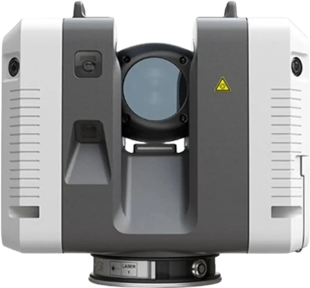
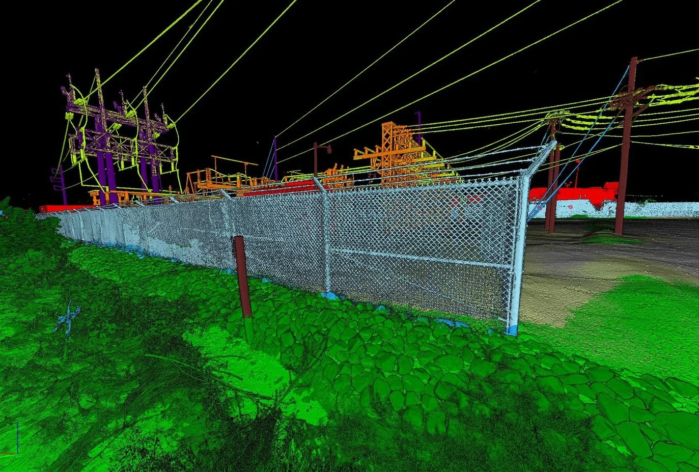
Reliable existing-conditions data depends on more than the appearance or density of a point cloud. Survey control, coverage, verification, and usable deliverables must suit the project’s intended use.
TTSM (Texas Firm Registration No. 10122700) performs professional surveying work under the responsible charge of Robert L. Young, RPLS No. 5400. We establish control and verification requirements during scoping and review the results against the agreed project requirements. That way, design teams know what the data is suited for and how far it can be relied on.
Depending on the project, TTSM combines:
Where appropriate, we combine LiDAR, terrestrial scans, and imagery to improve coverage. Capture planning considers site conditions, obstructions, required detail, and how the client will use the finished data.
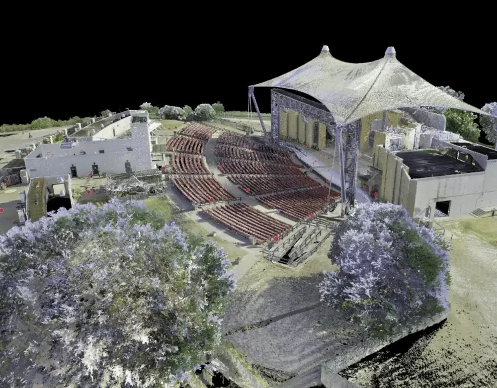
TTSM provides measured existing-conditions data that can form the foundation for a digital twin and support scan-to-BIM workflows. Depending on the assignment, LiDAR, terrestrial scans, and imagery are brought into a common project reference to document the site or structure.
The proposal identifies the deliverables, which may include registered point clouds (LAS/LAZ or E57), CAD survey drawings (DWG), surfaces, or separately scoped modeling. Coordinate reference, units, software compatibility, required detail, and any other file formats are confirmed during scoping. A completed BIM or Revit model, ongoing updates, and connections to operating data are scoped separately.
Survey control and checkpoints serve different purposes:
We define the control, verification checks, and accuracy requirements during scoping and document results appropriate to the agreed deliverables, reporting against the ASPRS Positional Accuracy Standards for Digital Geospatial Data where the proposal specifies it. Agreement at checkpoints does not establish that every feature is complete or equally accurate.
Civil engineers, architects, developers, contractors, and owners use dependable 3D existing-conditions data for design, renovation, construction planning, and coordination. TTSM also serves as a surveying and reality-capture resource for engineering and surveying firms that need additional LiDAR or scanning capability.
We define the scope and deliverables with the project team so the data supports the work that follows.
Tell us your project location, what you need to document, how the data will be used, your preferred file formats, and your schedule. We will review the scope and identify the survey control, capture methods, and deliverables needed for a proposal. Each assignment is quoted individually. Request a Proposal through our contact page.
A digital twin is a digital representation of a physical site or asset used to support decisions about it. TTSM provides measured existing-conditions data that can form the foundation for that representation. The proposal defines the point clouds, drawings, surfaces, or modeling included; ongoing updates and connections to operating data require separate scoping.
A 3D scan records visible surfaces. A professional surveying scope also addresses the intended use, control, verification, and required deliverables. TTSM performs professional surveying work under the responsible charge of a Texas Registered Professional Land Surveyor. Survey deliverables are signed and sealed as required by applicable Texas law and Board rules. The proposal identifies the deliverables included. A point cloud alone is not a boundary determination or a completed signed and sealed survey.
TTSM provides registered point-cloud data (LAS/LAZ or E57) to support design and modeling workflows. We confirm the required file formats, coordinate reference, units, and software compatibility during scoping. A completed BIM or Revit model is included only when specifically identified in the proposal.
Based in Cleburne, Texas, TTSM serves projects throughout Texas, including the Dallas-Fort Worth area. Contact us with your project location, required deliverables, and schedule.
Yes. TTSM supports utility, infrastructure, and corridor projects with surveying, LiDAR, terrestrial scanning, and mapping services as appropriate to the assignment. We work with engineering firms, surveying partners, contractors, and owners to define the required coverage and deliverables. Underground utility investigation or designation must be separately identified in the scope.