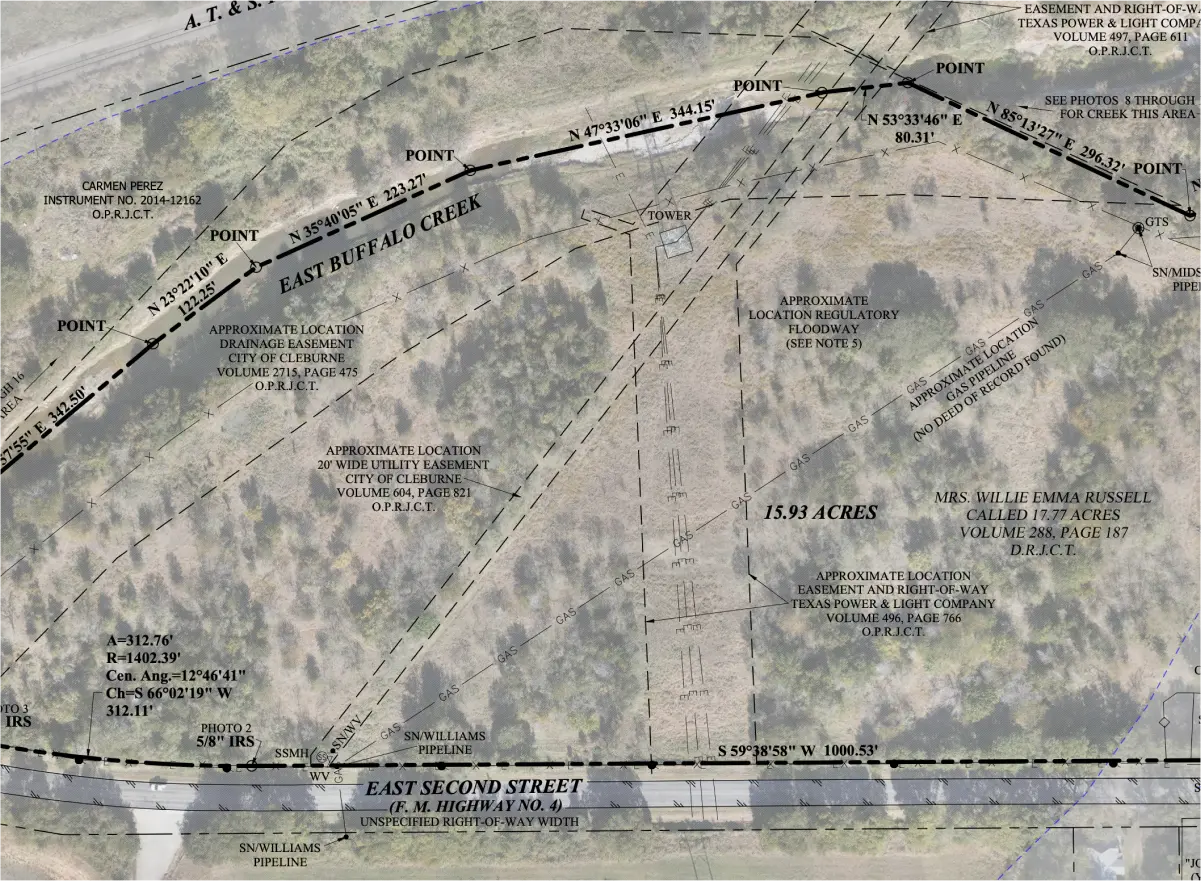
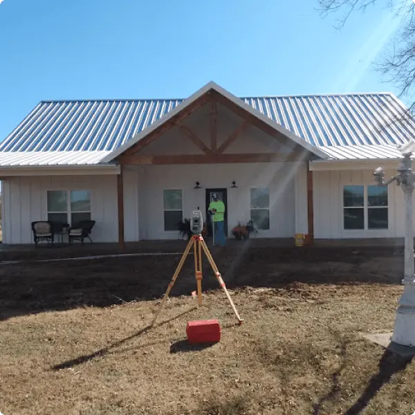
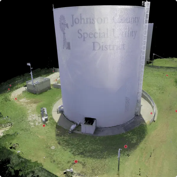
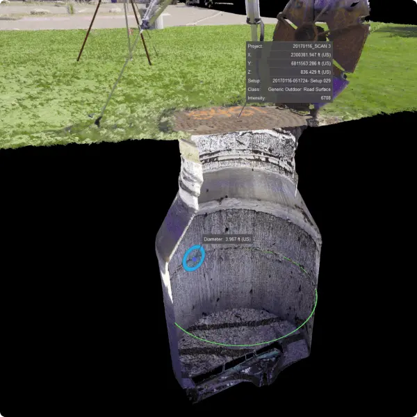
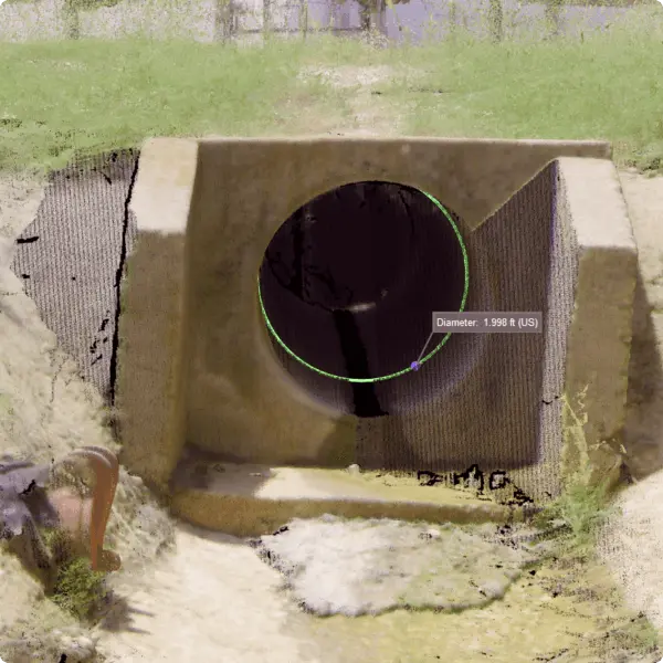
Trans Texas Surveying and Mapping, LLC is a licensed land-surveying and digital-mapping firm based in Cleburne, Texas. Led by a Texas Registered Professional Land Surveyor (RPLS) and TxDOT pre-certified for surveying and mapping services and hydrographic surveying, the firm provides boundary, topographic, construction, and drone/LiDAR surveying from its Cleburne office to Johnson County and the surrounding region — with drone, LiDAR, and 3D-scanning capability that extends to larger projects across the Dallas–Fort Worth metroplex.
401 N Nolan River Rd, Cleburne, TX 76033 Phone:817-556-3440 · Email: info@transtx.com Hours: Monday–Friday, 8:00 AM–5:00 PM
Land Surveying, Built on Verified Control
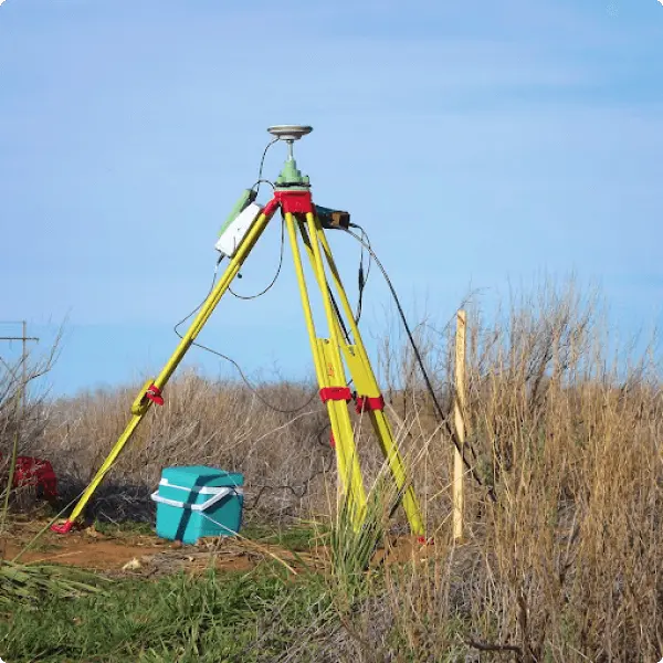
Every project starts the same way here, whether it’s a boundary line in Johnson County or a digital twin for an engineering client in Fort Worth: with dependable geodetic control, established and checked before any other data is collected. That control gets carried through the project with redundant measurement and independent verification, not a single pass from a single instrument. It’s the difference between data that looks right and data an engineer, architect, or attorney can actually rely on.
That approach, combined with RIEGL LiDAR sensors flown on a Harris H6 electric drone, is what lets Trans Texas serve Cleburne-area landowners and DFW project teams from the same office.
Trans Texas Surveying is based in Cleburne and regularly works throughout:
Johnson County
Hill County
Ellis County
Bosque County
Hood County
Somervell County
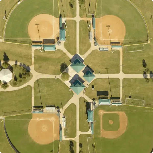
For drone, LiDAR, and 3D/digital-twin projects, the firm also takes on larger-scale work across the Dallas–Fort Worth metroplex, serving civil engineers, architects, and developers who need survey-grade existing-conditions data delivered on schedule.
Why Local Clients & Project Teams Choose Trans Texas
A licensed RPLS on every project. Robert L. Young is a Texas Registered Professional Land Surveyor: not a drone operator producing an image, a surveyor producing a defensible record.
TxDOT pre-certified for surveying and mapping (Group 15) and hydrographic surveying (Group 20).
RIEGL LiDAR + Harris H6 drone, flown as part of a controlled surveying workflow with ground control and independent checkpoints, more than just flight data.
A “this could end up in court” standard on boundary work. Under Texas law, the final say on a disputed boundary rests with a court, so boundary work here is documented and verified to hold up, not just delivered.
Surveying FAQs for Cleburne
What areas does Trans Texas Surveying serve from Cleburne?
The firm is based in Cleburne and regularly serves Johnson, Hill, Ellis, Bosque, Hood, and Somervell counties, with drone, LiDAR, and 3D mapping projects also taken on across the Dallas–Fort Worth area.
Do you handle both landowner and commercial/civil projects?
Yes. Trans Texas performs boundary, platting, and construction-related surveying for local landowners and developers, alongside topographic, 3D, and digital-twin work for civil engineers and architects on larger commercial and development projects.
Can you take on drone or LiDAR projects outside Johnson County?
Yes. The firm’s drone, LiDAR, and 3D-scanning capability extends to larger projects across the Dallas–Fort Worth metroplex, in addition to its home counties.
Hired them to survey some land..price was good and work was done quickly..would definitely use again
Laura Korderas
Google Review
5.0
Great company and great people to work with! Reasonable pricing, highly recommend!!
Rich Sikes
Google Review
5.0
Trans Texas is our go to for all of our surveying and re-platting needs. Angie and Laura are always friendly, helpful and professional.
Tony Gosdin
Google Review
5.0
They can get the job done and get it done quick. As a contractor, these guys(and gals) are most definitely our go to surveyor for the foreseeable future.
Richard Gano
Google Review
5.0
Trans Texas Survey is the best. They went out of their way to help me with a much needed form survey for a new house build.
Nancy Naranjo
Google Review
5.0
They are great! From the guys in the field to the people in the office! They are very reliable and delivered as promised.
Ready to Start a Project in Cleburne or Johnson County?
Every project gets scoped on its own terms — acreage, deliverables, access, and timeline all factor into the quote, so you get a number that reflects the actual work, not a flat rate off a price list. Whether you’re a landowner establishing a boundary, a developer platting a tract, or a civil engineer or architect who needs survey-grade topographic or 3D data before design starts, reach out and we’ll scope it from there.